Click on image to enlarge map.
Developed Areas
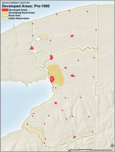
Pre-1900
Developed Areas
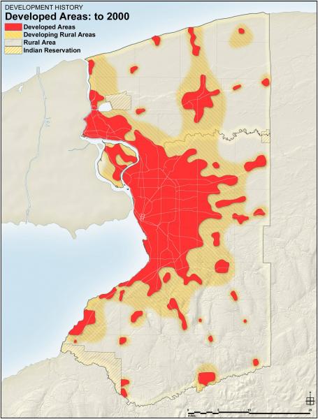
2000
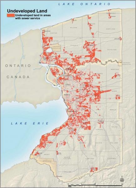
Undeveloped Land with Sewer
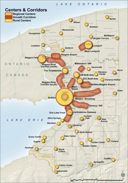
Centers and Corridors
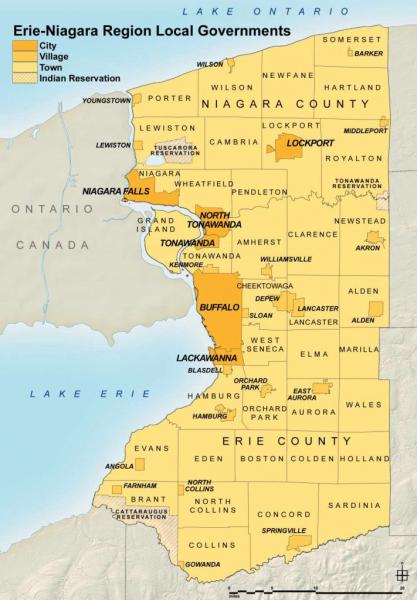
Regional Governments
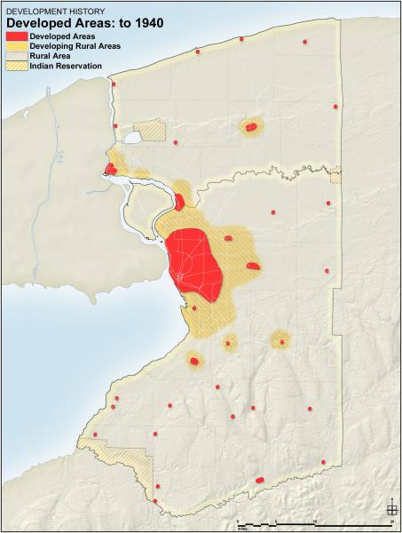
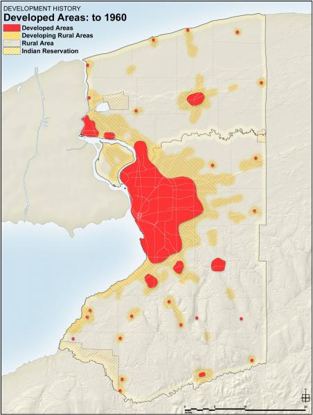
Developed Areas
1940
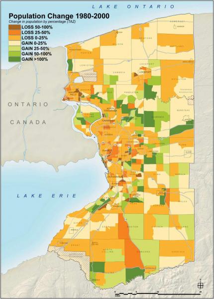
Population Change
1980-2000
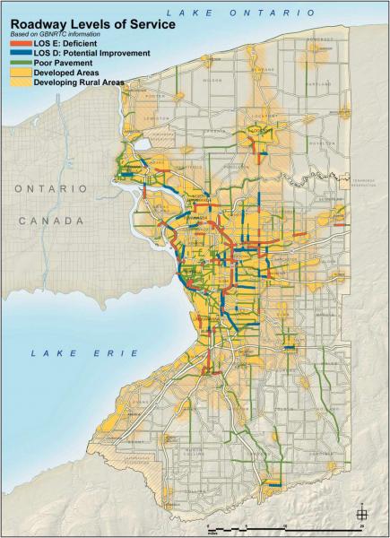
Roadway Levels of Service
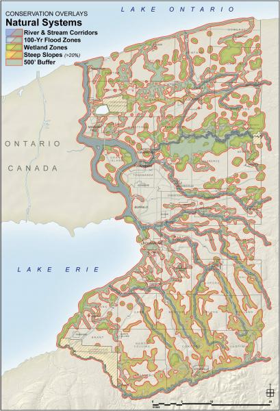
Natural Systems
Developed Areas
1960
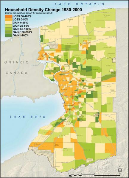
Household Density
1980-2000
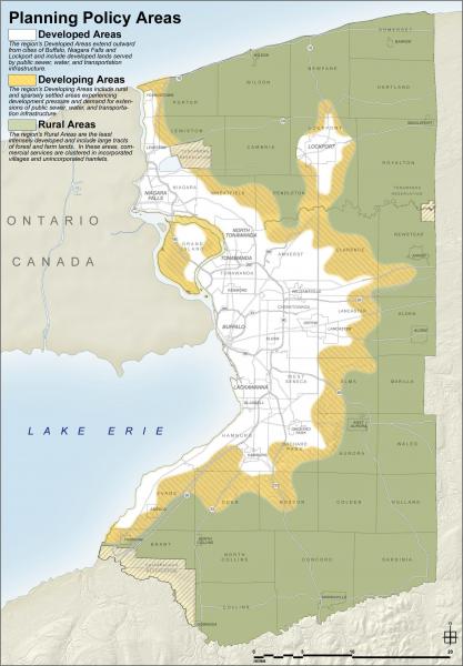
Planning Policy Areas
Heritage Assets
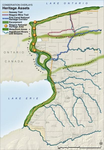
The Erie-Niagara Framework GIS Mapping Application Website provides an interactive mapping experience!